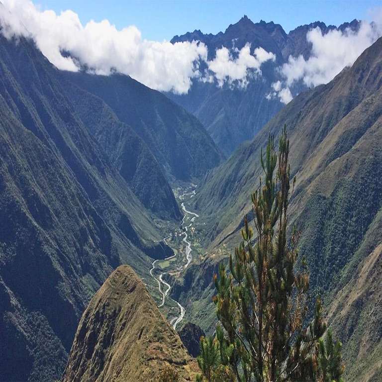
Unraveling the Formation of Peru's Majestic Canyons
हिंदी में सुनें
Listen to this article in Hindi
New research reveals how Peru's massive canyons were formed through river capture, challenging traditional geological theories.
Recent research led by Nadine McQuarrie from the University of Pittsburgh, along with collaborators from the University of Glasgow, has provided new insights into the formation of the massive canyons in Peru's Andean Plateau. Contrary to previous theories that suggested abrupt geological events or heavy rainfall were responsible for these grand structures, this study presents a compelling case for the process of river capture as the primary driver behind their creation. The canyons, which plunge 2-3 kilometers deep into the Andean landscape, dwarf even the Grand Canyon in scale, making their study both challenging and crucial for understanding geological processes.
River capture refers to a geological phenomenon where a river erodes its way into another river's drainage basin, effectively diverting water flow and altering the landscape over time. This process may have gained momentum in Peru after a slowdown in tectonic activity that traditionally shaped the region. By employing computer modeling, the research team tested the two prevailing theories—the idea of rapid tectonic uplift or increased rainfall—and found that neither sufficiently explained the canyon formations. Instead, they concluded that the gradual yet powerful effects of river capture were more significant in shaping these canyons than previously understood.
This research contributes to our understanding of geomorphology, particularly the forces that shape mountainous regions. It emphasizes the importance of long-term geological processes, which can often be overshadowed by the dramatic narratives of sudden events. The findings challenge the urgency often associated with climate and tectonic studies, shifting focus to the subtler, yet potent influences of hydrology on the landscape.
Importantly, while the study offers a new perspective on canyon formation, it does not negate the potential roles of other factors such as climate change, erosion, or seismic activity. The complexity of geological processes means that multiple factors can coexist, and further research is necessary to fully understand the interplay between these elements.
The research findings are significant not only for geologists but also for environmental scientists and policymakers. Understanding how landscapes evolve can inform conservation efforts and resource management in mountainous regions. That said, the reality is a bit more complicated. it is crucial to approach these implications cautiously, as the study primarily focuses on geological processes rather than immediate environmental concerns.
As with any scientific inquiry, limitations exist. The study relies on computer models that simulate historical conditions, which are inherently subject to uncertainties. Moreover, the precise timeline of canyon formation remains unclear, leaving room for further investigation. The research opens avenues for examining how similar processes may occur in other regions across the globe, potentially offering broader insights into the dynamics of Earth's surface.
In summary, the collaborative work sheds light on the gradual yet profound effects of river capture in the formation of Peru's massive canyons, enriching our understanding of geological processes while highlighting the need for ongoing research into the complexities of Earth's evolution.
Editor's note: This article was independently written by the Scoopliner Editorial Team using publicly available information.